-
Community
-
- Our Community About the Town of Ross Downtown Plan Town Events Community Calendar Town History
- Churches St. Anselm Catholic Church St. John's Episcopal Church Schools The Ross School The Branson School The Ross Preschool
- Organizations Age Friendly Ross The Jose Moya del Pino Library and Ross Historical Society Marin Art and Garden Center Ross Auxiliary Ross Property Owners' Association
-
-
Government
-
- Agendas and Minutes Council Committees Community Protection Committee Finance Committee General Government Committee Town Council Town Goals
- Departments Administration Building Finance Human Resources Planning Public Works Recreation
- Public Safety Police Department Ross Valley Fire Department Emergency Services Community Preparedness Fire Information Flood Information
-
-
Services
-
-
Business Licenses
Marin Humane Society Dog Licensing
Marin Wildfire Prevention Authority Permit Services Building Permits Encroachment Permits Commercial Filming Permit Special Events Permit Community Portal - Plan Review Services Police Home Security Checklist Form Police Vacation Check Form Ross Valley Fire Department Ross Valley Paramedic Authority
-
Business Licenses
-
- Resources
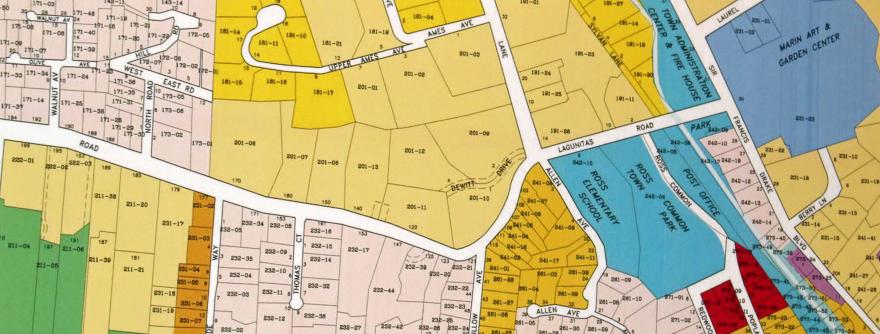
Flood Insurance Rate Maps (FIRMs) and Map Information Service
Flood Insurance Rate Maps (FIRMs) are available at the FEMA Flood Map Service Center (MSC). At the MSC you may find and download a flood map, and any revisions or amendments to it, as well as other information.
As a public service, the Town of Ross Floodplain Manager will provide you with the following information upon request. There is no charge for this service except there may be a fee associated with with providing additional flood insurance data, depending on the extent of the inquiry.
- Whether a property is in or out of the Flood Hazard Area (FHA) as shown on the current Town Flood Insurance Rate Map (FIRM). The Town retains information on any revisions made to the flood maps.
- Additional flood insurance data for a site, such as the FIRM zone and the Base Flood Elevation (BFE) and Floodways.
- Other flood problems not shown on the FIRM, such as local drainage problems and the dam failure inundation zone.
- Historical flood information including anticipated flood depths.
- Copies of any Elevation Certificates that we maintain: see below.
- Guideline creek setbacks and areas that should be protected because of their natural floodplain functions.
If you would like more information or assistance, call the Town's Floodplain Manager at (415) 453-1453 ext. 115 or email rsimonitch@townofross.org.